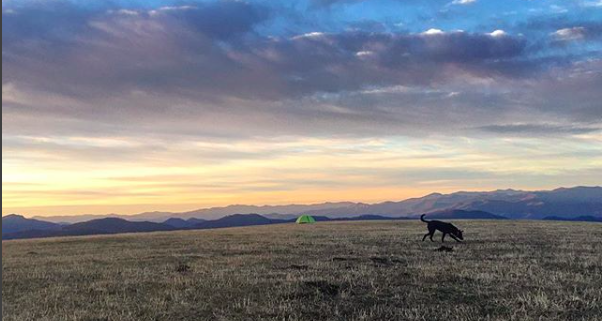
Max Patch is just one of those hikes that everyone should try to do at some point in their life. It is one of the largest maintained balds in the Southern Appalachian mountain range and boasts incredible 360-degree views of equally beautiful surrounding mountains. From the parking area hop on the trail going left into the woods and up towards the summit. Walk along the Appalachian Trail and enjoy views of the Smoky Mountains to the west and the Black Mountain range to the east. Do not use the small footpaths that lead from the peak to the parking area as erosion is causing excessive damage to the hillside.
Difficulty: Easy/Moderate
Distance: 1.4 miles-Variable
Map: NatGeo 782; French Broad and Nolichucky Rivers
Location: From Asheville, drive about 39 miles west on the I-40 to Exit 7 for Harmon Den and turn right on Cold Springs Road. Cold Springs Creek Road then goes 6 miles up the mountain and ends at Max Patch Road, passing thru the Harmon Den area along the way. Follow signs for Max Patch.


