Intro
Mt. Le Conte is one of the most iconic mountains in Great Smoky National Park. Not only is it the third highest point in the park, but it’s also the highest peak that is completely within the state of Tennessee, and from base to summit, it’s the tallest mountain east of the Mississippi. While these elevation accolades are certainly impressive, they don’t quite tell Le Conte’s entire story.
What Makes It Great
What really makes this mountain so special is its geological formations, biological variations, and historical fascinations. The mountain’s slopes are covered in ancient shale and sandstone as well as sweetly smelling spruce-fir forests. From the top, you’ll be treated to some of the most scenic views imaginable, and you’ll also come across LeConte Lodge, which is a series of cabins that were built in the 1920’s and which can only be accessed by trail. As for what trail?… Well, you’ve got options.
There are five routes, which lead to the summit of Mt. Le Conte. The two most popular of these is the Alum Cave Trail and the Boulevard Trail.
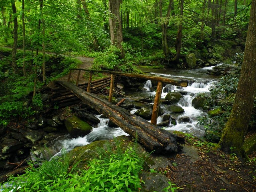
The Alum Cave Trail is the shortest, steepest, and most scenic route to the summit. From the trailhead to the top is 5.5 miles, so if you decide against staying the night at the lodge, you’re looking at an 11-mile round trip with quite a bit of elevation gain (about 2700 feet). Along the way, you’ll encounter a number of notable landmarks. At 1.3 miles in, you’ll come to Arch Rock, which is basically what the name implies: an arched rock. After passing through this naturally air-conditioned, cave-like section, you’ll pass Inspiration Point, which has some nice views and then at 2.2 miles in, you’ll reach Alum Cave Bluff, which is an 80-foot sight to behold. From here, the second half of your hike is the steepest. You’ll enter the Fraser Fir zone around 6,000 feet and then the trail will eventually (and at this point, gratefully) flatten out near the summit.
If you’re looking for a longer, less populated route, the Boulevard Trail is another great option. From the Newfound Gap parking lot, it’s 8 miles to the summit and 16 miles roundtrip. Though the 3,000 feet in elevation gain is stretched out over a longer distance than something like the Alum Cave Trail, it’s still 3,000 feet of climbing. Your legs will burn and your lungs will feel it. That being said, it’s a long, steady, gradual climb with views aplenty, so you’ll quickly find your rhythm. Along the way, you’ll pass junctions for Charlie’s Bunion and the Jump Off– both worth seeing if you’ve got the time and stamina. If not, continuing on for a straight shot to Mt. Le Conte will certainly suffice.
Whichever route you choose, you’ll certainly enjoy your day (or two) on top of Mt. Le Conte.
Who is Going to Love It
Anyone! This is one of the most iconic areas in the park, and anyone who feels up to the hike should take on this mountain. Hardcore hikers will enjoy this hike just as much as the weekend vacationers looking for a challenge, and photographers should check out the views at sunset or sunrise (bring plenty of warm clothes!). The difficulty is more than what is found in some other areas, but anyone can make it to the summit without too much trouble. If you time it right you may be hiking alongside the occasional morning mule train taking supplies up to the lodge!
Directions, Parking, & Regulations
Because of the varied routes for this trail, your parking depends on where you’re wanting to start out.
For the Alum Cave route, the trailhead can be found if you follow the road towards Clingman’s Dome. All parking areas are well marked.
As with all of the park, camping areas require permits that you may get from any Visitor Center.
Featured image provided by Jim R Rogers


