The West Coast may have hot springs and glacier-fed lakes, but here in the sultry Southeast we have our swimming holes—and we’re damn proud of them. Just listen to the Top 40 Country Countdown: people are always jumping into water, fishing in the holler, lying by the creek and drinking cold beers down by the river. A summer spent fully immersed in mountain-fed pools would be a fine summer indeed. Here are five of the coolest and coldest swimming holes within two hours of Asheville.
1. Sliding Rock
Just eight miles outside of Brevard, Sliding Rock is Mother Nature’s answer to the slip n’ slide. You will shoot sixty feet down a perfectly smooth rock face, fueled by more than 11,000 gallons of cascading water, into a pool that is six feet deep and shockingly cold. This could be the perfect conclusion to a long day of mountain biking in the Pisgah National Forest.
As one might expect, this natural water park is extremely popular during the scorching Appalachian summers. A lifeguard is on duty between Memorial Day and Labor Day, between the hours of 10am-6pm. If big crowds and long lines are not your cup of sweet iced tea, then make sure to visit Sliding Rock outside of these hours.
There is a 2$ charge during lifeguard hours; bathrooms and showers available on site.
2. Skinny Dip Falls
This may come as a disappointment for some and a relief to others, but Skinny Dip Falls is not actually a clothing-optional swimming hole. This rugged and serene pool is located at the headwaters of the Big East Fork of the Pigeon River. Waterfalls, jumping-off rocks, a deep plunge pool, and shallow areas for wading make it a very popular swimming spot. If you’re determined to go au naturel, there are plenty of secluded spots to be found by exploring upstream.
Located just a half mile off the Blue Ridge Parkway on the Mountains-to-Sea-Trail, Skinny Dip Falls is a great place to cool down after hiking in nearby Graveyard Fields, Black Balsam Knob, or the Shining Rock Wilderness.
A blazed spur trailhead is located at Milepost 417 near the Looking Glass Rock Overlook.
3. Compression/Twisted Falls
Some of the best cliff jumping in the Southeast can be found in Cherokee National Forest, not quite two hours outside of Asheville. A series of curving back roads and a steep, mile-long hike will lead you to the base of Compression Falls—also known as Twisted or Twisting Falls—a 40-foot curtain of cascading water on the beautiful Elk River.
Although this area is becoming increasingly popular, its remote setting and steep access trail keep the massive summer crowds at bay. A wide pool beneath the falls is ideal for swimming and sunbathing, and there are plenty of cliffs and jumping rocks to keep you entertained. Thrill seekers can find quite the adrenaline rush (not to mention photo op) by sliding directly over the falls into the pool. (While lots of people do this, be aware that any time you willingly or unwillingly plunge off of a waterfall, you are risking bodily harm. There have been a few unfortunate incidents of severe injuries resulting from people going over the falls.)
Your best landmark is Elk Mills Store on Route 321 in Elk Mills, TN. Find a map here.
4. Hooker Falls

mrnoy9n
DuPont State Forest is a complete, all-in-one summertime destination. Hikers and mountain bikers will enjoy over one hundred miles of multi-use trails, including the sweet, soaring downhill of Ridgeline Trail, the exposed, sun-beaten Slick-Rock Trail, and the many spectacular waterfalls for which the forest is best known. No day of exploration is complete in this natural playground without taking a dip in the pool beneath Hooker Falls—the only waterfall in DuPont that is safe for swimming.
Explore the misty chasm behind the pounding veil of the fall, plunge off the rope swing, or float in the languid downstream waters. Because the pool is part of Cascade Lake, there are no current or downstream waterfalls to watch out for. Hooker Falls is a mere quarter mile from the parking lot, so bring a floaty, a cooler, and stay ’til you’re waterlogged.
Park in the Hooker Falls Parking Area. Port-a-johns available in the parking lot. The forest closes at 10 pm.
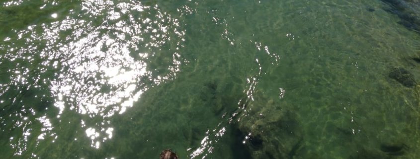
5. Midnight Hole
The mountain-chilled, emerald water of Midnight Hole provides a refreshing oasis from the oppressive humidity of a Carolina Summer. This swimming hole, studded with jump rocks and fed by a small waterfall, is one of the many natural treasures you can find hidden away in the Great Smoky Mountains National Park. It is located on Big Creek on the Carolina/Tennessee State line, after an easy 1.4-mile hike on the Big Creek Trail.
Park at the Big Creek Campground Parking Lot.
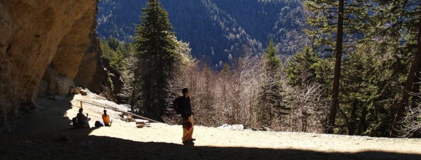
Featured image provided by Melina Coogan